Export Tool
The Export Tool of the VC Map allows the export of 3D objects, oblique images and other prepackaged data if available in the application.
What is available to export will depend on the configuration of the specific application. It should be noted that the structure and appearance of the output data may vary depending on the selected output format. In addition, it is possible that not all data seen the application can be exported.

Clicking on the "Export Plugin" button in the toolbox opens the Object Export Wizard, which provides guidance through the selection and export process.
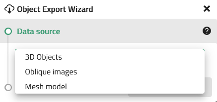
The first step "Data Source" specifies whether 3D objects, oblique images or another data source should be exported (in this case it is “Mesh model").
Export of 3D Objects
Data Selection
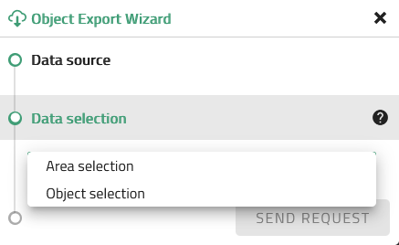
The 3D objects to be exported can either be clicked individually (CTRL-Click for multiple) or selected by area selection, by drawing a polygon.
| If the terrain is also to be exported (see next step: "Settings"), only the objects that lie completely within the selection polygon are selected during the area selection. Otherwise, the objects that are only intersected by the selection polygon will additionally be selected. |
Settings
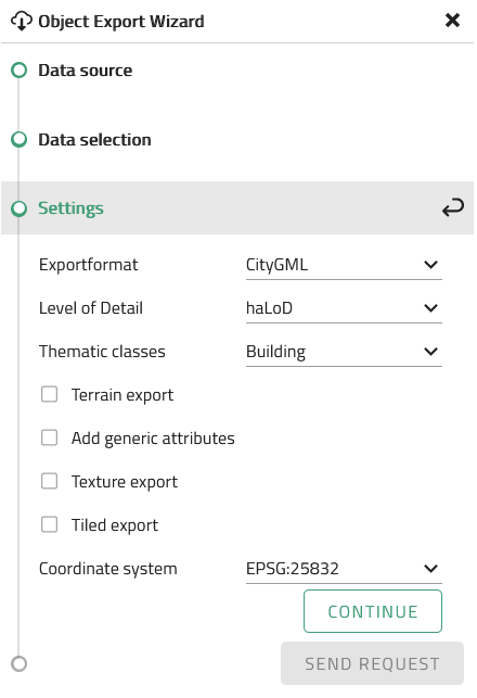
In the export settings, various options can be selected. The available options will depend somewhat on selected the export format(s). Depending on the selected format(s) the following options may be available., Level of Detail (LOD), the CityGML Thematic Class(es), whether or not to include attributes or the applications current active terrain, whether to remove the coordinate system information and set the centre of the export to be (0,0), whether to remove the 3D objects absolute height and instead export objects onto the ellipsoid or whether to tile the results (1km tiles). In addition the user can choose to include textures (textures will be applied to bother the Terrain and to the 3D Objects if available). For 3D objects a texture theme may need to be selected.
| If the terrain is also exported here, only the objects that lie completely within the selection polygon are selected during the area selection in the previous step. Otherwise, the objects that are only intersected by the selection polygon will additionally be selected. |
Export of Oblique Images
Data Selection
For Oblique exports the user can choose between an area selection or the current oblique image (if in the oblique view mode).
If the area selection is used, all images are selected that are intersected by the drawn polygon. A more precise selection of the images to be exported is possible in the next step Select Images.
For the selection of the current oblique aerial image, the map must consequently be in oblique map mode. After accepting the terms of use, the image can then be downloaded directly in JPG format by clicking on "Send request".
Settings
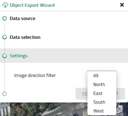
If the area selection was chosen as a selection option, the desired image orientation must be set in the next step. Likewise, all four cardinal directions can be downloaded simultaneously.
Select Images
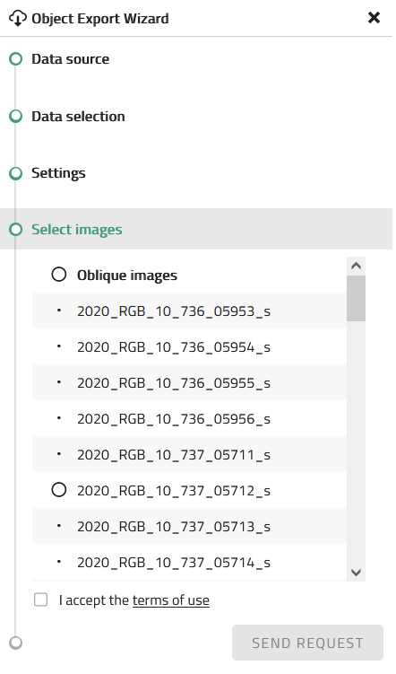
Finally, individual images can be selected from the pre-selection for export. When the individual oblique images are selected, corresponding highlights appear on the map. This allows the user to select the exact images they want.
Then the terms of use can be accepted and the request sent. The selected oblique photos are then downloaded seperately in JPG format.
Export of the 3D Mesh Model
Data Selection
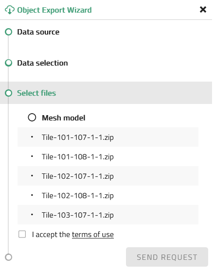
For the export of a 3D mesh model, only the option of area selection is available. All available packages which are intersected by the drawn polygon are selected. A more precise selection of the tiles to be exported is possible in the next step Select Files.
